HISTORY OF THE PALO VERDE VALLEY
The history of the Palo Verde Valley is entwined in the history of the Colorado River. The former has always been dependent upon the latter. From 1852 to 1877, steamboats plied the Colorado from Port Isabel, at the mouth of the river, to Hardyville, near the present site of Davis Dam. A few trips were made to Calleville, a Mormon community at the mouth of the Virgin River, under what is now Lake Mead. This river traffic was supported by the mineral industry, with gold and silver mines in the mountains along both sides of the river from Yuma to Black Canyon, site of Hoover Dam. A wagon freight line, which crossed the river at Ehrenberg, Arizona, across the river from Blythe, delivered supplies to the mining areas of Quartzsite, Wickenburg and Prescott, Arizona. Another reason for river traffic was to supply the U.S. Army. Supplies were shipped from San Francisco to Port Isabel by ocean vessel and then transferred to river steamers which brought the goods to Ehrenberg. From here, goods went overland by wagon train to the Army posts in Arizona. When the Southern Pacific Railroad reached Yuma in 1877, the river traffic originated there and Port Isabel reverted to mud flats. With the advent of railroads in Arizona, traffic on the wagon freight line diminished. With the construction of Laguna Dam, near Yuma in 1909, river traffic ceased altogether.
Surveyors of the U.S. Government land office were also active in southeastern California in the period 1855 to 1884. These survey parties were supplied from the steamboats. One of the surveyors was Oliver P. Calloway, an engineer who had hacked out the first stage road from San Diego to Yuma, and had a hand in the development of San Diego Harbor. He saw the agricultural possibilities of the Palo Verde Valley. Lacking money he went looking for a financial angel and found one in the form of Thomas H. Blythe, a capitalist of San Francisco. (Blythe was born as Thomas Williams in Mold, England July 30, 1822). Blythe was making excellent returns on real estate investments in San Francisco and spending much of it on mining and agricultural promotion schemes. He acquired some 40,000 acres - all valley land east of what is now Defrain Boulevard, approximately one-mile westerly of the heart of the City of Blythe - from the State of California under provisions of the Swamp and Overflow Act. He hired George S. Irish as manager and Calloway as his engineer and told them to proceed. The first irrigation was from a swamp area - or slough - called Olive Lake in the north end of the valley, which irrigated some pasture lands and some small agricultural plots. A canal was built from the river at Black Point, a location about a mile north of the present Diversion Dam, to the slough, but it was very costly. Even with Indian labor at 50 cents a day, Blythe spent some $82,000 before any irrigation was accomplished. Thomas Blythe visited the valley only twice: once in December 1875, then again in November 1882.
Thomas Blythe made the first of subsequent filings on Colorado River water in California when he recorded a request for 95,000 miners inches (1,905 cubic feet per second) in the then county seat at San Diego on July 17, 1877. His total filings amounted to 190,000 miners inches. The water was requested for "agricultural, mining, manufacturing, domestic and commercial purposes".
In March 1880, a Chemehuevi Indian named "Big Bill" killed Calloway with a knife, after an argument about employment between Calloway and an Indian called "Up and Up". Calloway was buried in the north part of the valley in a casket made from mahogany fittings of an abandoned saloon in Ehrenberg. The Army caught "Big Bill" and sent him to Alcatraz, which was then a military prison. Calloway was replaced by C. C. Miller, of the family later affiliated with the famous Mission Inn at Riverside, California.
Thomas Blythe died of a heart attack in San Francisco in April 1883. His creditors immediately froze his assets and money for the Palo Verde Valley was cut off. Irish and Miller sold off the implements, turned the money over to the estate, and left the valley. Since Blythe was a bachelor and left no will, his estate was tied up in court for many years. There was no further agricultural development in the valley until after the turn of the century.
Frank Murphy and Ed Williams, cattlemen of southeastern Arizona, visited the valley in 1904 and became convinced of the valley's potential for beef production and irrigated agriculture. They were able to interest the Hobson brothers, of Ventura County, California, in the valley; and they formed the Palo Verde Land and Water Company and purchased the Blythe Estate, which became the parent company of the Mutual Water Company. The land company, in payment for the intake, headworks, etc., assumed the right to sell the water stock which was issued for the entire valley, at prices of their choosing.
C. K. Clarke was the first engineer of the water company and it was he who built the first intake structure and located the principal canals generally as they are today. The almost annual flood damage inflicted by the Colorado River necessitated the formation of the Palo Verde Joint Levee District, which was organized in 1917, and which sold bonds to build a levee to protect the valley. Later on the need for drainage became apparent, and the Palo Verde Drainage District was organized in 1921 and sold bonds for drain construction. About this time, it became apparent to the valley's water users that it was necessary to have one entity to administer the irrigation and drainage functions. They petitioned the state legislature to take appropriate action, and in 1923, the Palo Verde Irrigation District Act was passed. The District was then organized and began functioning in 1925, taking over the assets and obligations of the three predecessor organizations: the Palo Verde Mutual Water Company, the Palo Verde Joint Levee District and the Palo Verde Drainage District.
During the 1930's, the valley was hard hit and the District defaulted on its bonds. Later the bonds were refinanced with a RFC loan. Leaders of the valley worked hard for the Boulder Canyon Project and were influential in bringing about the construction of Boulder Dam (later designated as Hoover Dam) which was completed in 1935, and which regulated the flow of the river and virtually eliminated floods. Since that time, farming in the valley has been less of a gamble and the valley has generally prospered.
PALO VERDE IRRIGATION DISTRICT AS IT EXISTS TODAY
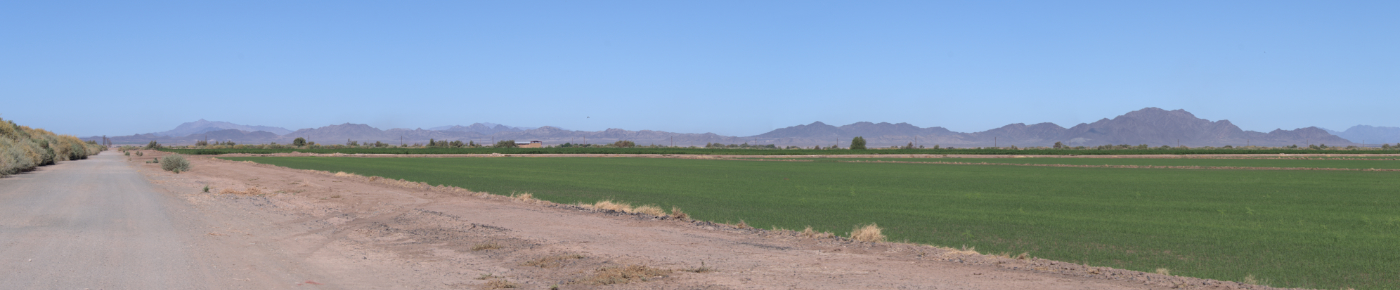
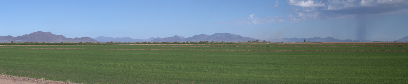
The Palo Verde Irrigation District occupies about 189 square miles of territory in Riverside and Imperial Counties, California. The District contains approximately 131,298 acres, 26,798 acres of which are on the Palo Verde Mesa. This Mesa lies just west of, and from 80 to 130 feet higher than, the valley. A portion of the Mesa area lies within boundaries of the Palo Verde Irrigation District. Colorado River water, supplied through Palo Verde Irrigation District canals, is lifted onto the Mesa by private pumps to irrigate a portion of the acreage in the District. The remaining mesa irrigated acreage is irrigated from deep wells developed by the landowners. The predominant crop on the Mesa is citrus.
The Colorado River, which is the boundary between Arizona and California, forms the eastern and southern boundaries of the District. The valley is relatively level; approximately 9 miles wide, 30 miles long and ranging in elevation above sea level from about 290 feet at the northern end to about 220 feet at the southern end. The soils are alluvial in nature, laid down in past years by Colorado River floods; and range in texture from fine grain clays to silty loams to light sandy soils, with the predominant soil being a sandy loam. The entire valley is underlain with permeable sand at shallow depths.
The Palo Verde Valley with its long, hot growing season is ideal for agriculture; crops are grown and harvested year round. Mild winters, with a minimum of frost, permit growing of many crops not suitable for production in other areas.
The Valley is served by a spur line of Arizona and California Railroad, a freeway and two State Highways. Interstate 10 Freeway is one of the major highways bringing traffic into California, and one of the most heavily traveled routes in the nation. State Highway 95 runs north from Blythe to Needles and Las Vegas. State Highway 78 traverses the desert southwest from Blythe to the Imperial Valley. Blythe Airport lies 7 miles west of Blythe and is leased by the City of Blythe.
The principal city in the area is Blythe, which with its urban fringe has a population of about 21,800, although more than 8,000 of these are inmates in 2 State prisons. Blythe serves a population of about 30,000 people, some of whom live in Arizona.
Developed valley farmland has a market value ranging from $2,500 to more than $5,000 per acre; mesa acreage has a wide range of values, based upon stage of development.
The 2003 net cultivated acreage in the District was 93,375 acres. Because of the year-round growing season and multi-cropping practices (the same acre of land producing two or more crops in one year) there were 106,582 acres of crops grown as shown below. The 2003 valuations (gross returns) as compiled by the Riverside County Agricultural Commissioner's Office for the Riverside County portion of the valley are also listed. No valuations were available for Imperial County.
Crop ReportsIn recent years, the annual value of crops produced within the District has ranged from $60 million to $158 million, excluding livestock. During recent years, 25 to 35 thousand head of sheep have been winter fed annually in the valley.
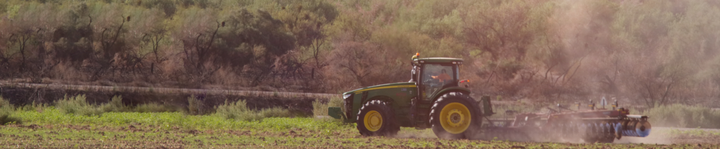
The District has a staff of about 71 people, including 7 Board members, office and clerical personnel, ditch riders (Zanjeros), construction and maintenance crews, and other employee classifications. Over the last 30 years, due to mechanization and to the lessened requirements of drain construction and maintenance, the District staff has been reduced from 125 to the present figure. This reduction was accomplished by not filling positions as they became vacant through retirement and resignation. For necessary construction, operation and maintenance, the District owns and operates considerable equipment. This equipment includes: A dragline, excavators, gradalls, dozers, a truck crane, motor graders, backhoes, a weed burner, spray rigs, dump trucks with pups, heavy-duty trailers, water trucks, and about 60 miscellaneous light and medium-duty pickup trucks.
The governing body of the District is the seven member Board of Trustees, elected by the landowners within the District on the basis of one vote for each 100 units of District-assessed valuation. Trustees serve three-year terms and are eligible for re-election.
The management of the District is handled by a general manager who serves at the pleasure of the Board, and is responsible for staffing and operating the District.
The prime functions of the District are: 1) to divert and distribute irrigation water from the Colorado River to the farmland, and 2) to provide agricultural drainage for said land. The greatest efforts of the District, in recent years, have been improving the efficiency of the water delivery system and the improvement of drainage (lowering the groundwater table) throughout the valley. In the 1960's, District forces carried out an extensive drainage improvement project, financed in 1964 by a $1,875,000 bond issue, and supplemented by funds from taxes and water tolls.
The financial condition of the District is extremely good and the total debt is quite low; the per acre bonded indebtedness of land within the District being among the lowest of irrigation districts in the country.
WATER SUPPLY FOR PALO VERDE IRRIGATION DISTRICT
An abundant supply of water for irrigation has been available for the Palo Verde Valley since the construction of Hoover Dam and the subsequent control of the river. Due to irrigation practices, the original saline condition of the valley soils, the flat slope of the valley, and other related factors, diversion per acre is high; however; considerable water, both operational spill and drainage flow, is returned to the river at the lower end of the valley. For the 1993 to 2002 period, (excluding 1992 thru 1994 Test Fallowing Program affects), the average diversion per net cropped acre has been approximately 10.28 acre feet with the return flow being equal to about 5.21 acre feet per net cropped acre, resulting in a diversion-less-return figure of about 5.08 acre feet per net cropped acre. From June 20 to December 20, 2003, fallowing of 17,109 acres resulted with the water savings going to the Coachella Valley Water District.
Irrigation water is delivered to the Palo Verde Valley user for a flat charge of $52.00 per acre per year. This charge, plus the average irrigation district assessment, results in a current total annual water cost of about $61.00 per acre. PVID receives no funding from State or Federal governments.
DISTRICT FACILITIES
The District canal system consists of approximately 244.23 miles of main and lateral canals with capacities from 2,100 cubic feet per second, at the upper or north end of the District, down to 25 cubic feet per second in various small laterals throughout the Valley. As a part of this canal system are the more than 2,550 structures necessary to operate the system. These structures are canal headings, checks, siphons, deliveries, bridges, flumes, pump plants, moss racks and miscellaneous structures.
While the District has 56.0 miles of lined canals, the installation of concrete-lined farm ditches has increased greatly during recent years. We estimate there are about 315 miles of concrete-lined farm ditches in the valley, about 72% of all private ditches.
The District drainage system is composed of approximately 141.4 miles of open drainage channels carrying groundwater drainage and canal operational spill water away from farmland and back to the river. This system of drains includes over 250 siphons, or submerged culverts.
The groundwater drainage conditions and "salt-balance" within the District continues to show improvement. The groundwater is hydraulically connected to the Colorado River. The valley average depth to groundwater below farmland, as shown by over 200 observation wells throughout the valley, is approximately 10 feet as compared to 5-1/2 feet in 1957.
GENERAL PALO VERDE VALLEY CROP INFORMATION:
Average yields of alfalfa are ten tons of hay per acre per year, with the average farm price during the recent years ranging from $60 to $140 per ton. The alfalfa hay is primarily used by dairies in central and southern California. Some alfalfa is specially baled for retail sales.
In recent years, wheat has replaced barley. This change occurred because of marketing problems and improved varieties of rust-resistant and high-yielding wheat that are less susceptible to lodging and easier to combine. Barley usually yields from 3,000 pounds to 5,000 pounds per acre, while wheat yields from 5,000 to 8,000 pounds per acre.
Cotton yields range from a low of two bales per acre up to a high of over four bales per acre. The average yield in recent years has been over 2 bales per acre. Genetically modified varieties have greatly increased yield potential in recent years.
Many varieties of melons are grown in both spring and fall including watermelons, cantaloupes, honeydews, and mixed melons. Cantaloupes, the major type, produce average yields of 500 crates per acre. Honeydews have an average yield of 900 crates per acre.
Acreage of fall, winter, and spring lettuce (harvested from early November thru April) is generally over 2,000 acres. Yields are good, ranging from 500-1000 cartons per acre depending upon conditions and seasons.